- #creek-flooding
- #flash-flooding
- #brisbane-suburbs
- #flood-restoration
- #local
Brisbane’s creeks flood more homes more often than the Brisbane River does. Kedron Brook, Enoggera Creek, Bulimba Creek, Norman Creek, Oxley Creek and Moggill Creek each have a corridor of suburbs that see water in yards and houses during intense storms. River flooding, as in January 2011 and February 2022, is rarer but reaches higher and lasts longer. You can check any address with a free FloodWise Property Report from Brisbane City Council.
This article walks the corridors one by one, explains how creek flooding differs from river flooding for a homeowner and an insurer, and describes what restoration after creek water actually involves.
Why creeks flood faster than the river
The Brisbane River responds to days of rain across a catchment that stretches to the Great Dividing Range and includes Wivenhoe and Somerset dams. It rises over hours to days and gives warning.
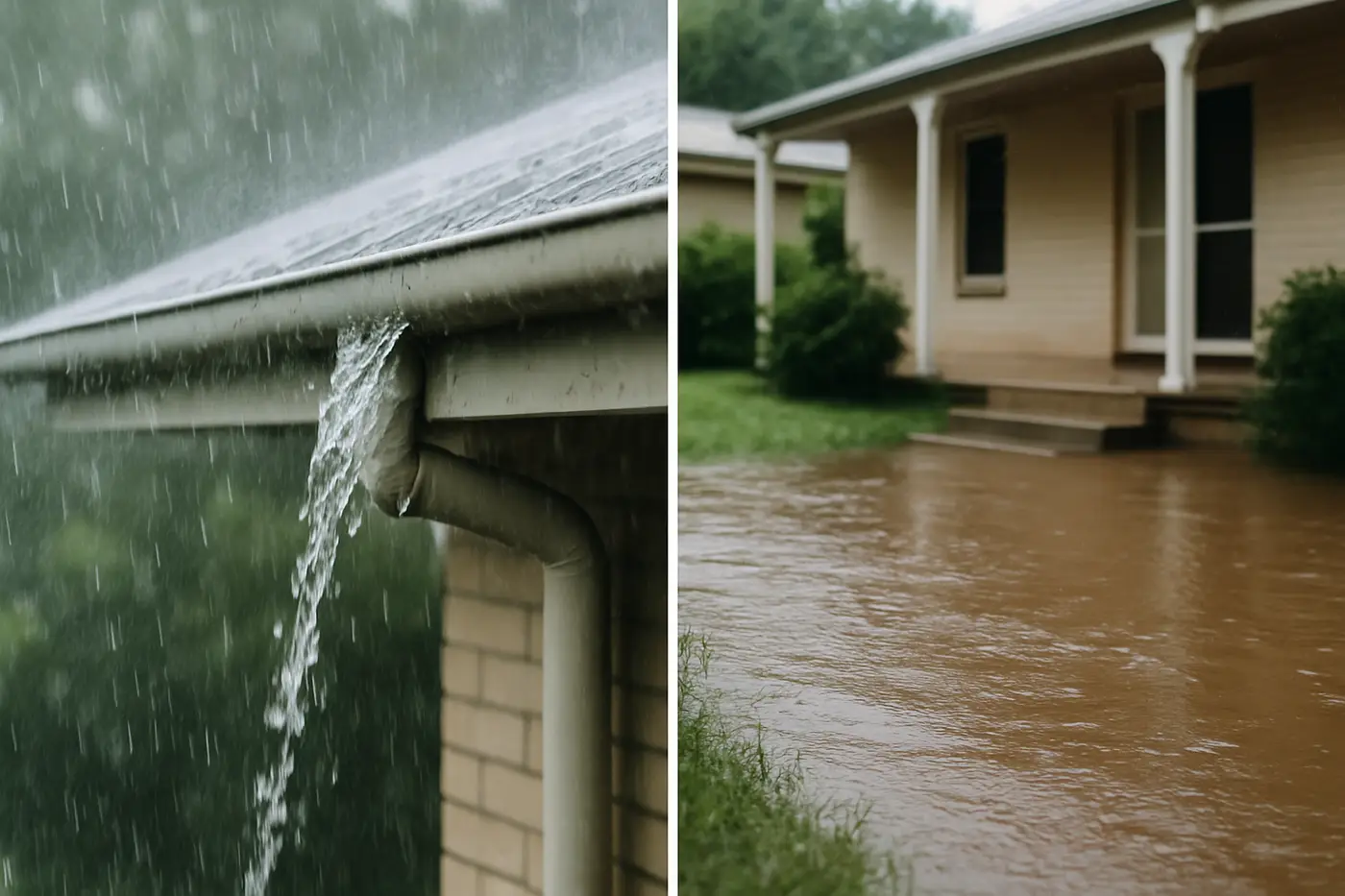
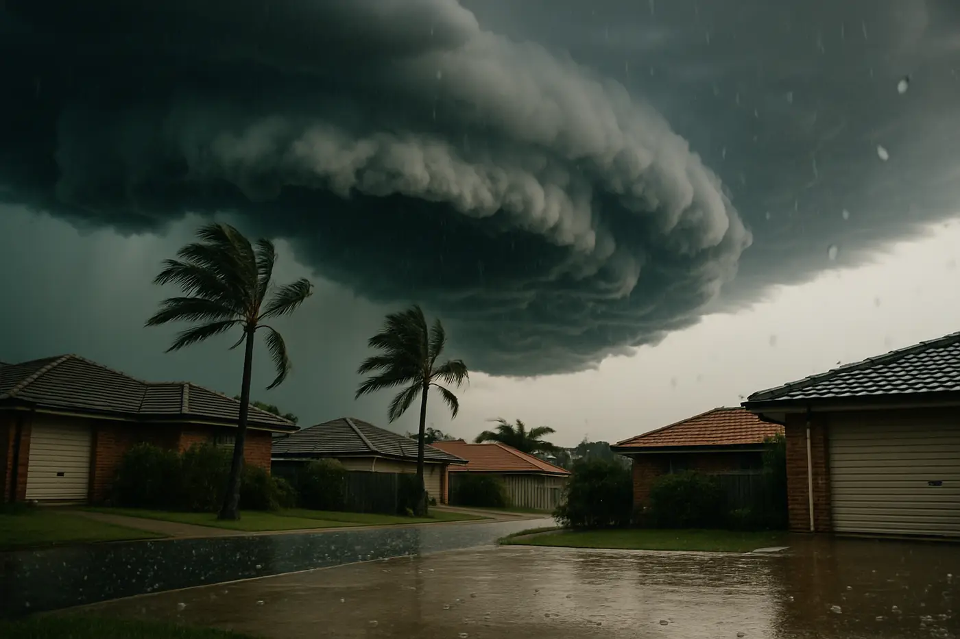
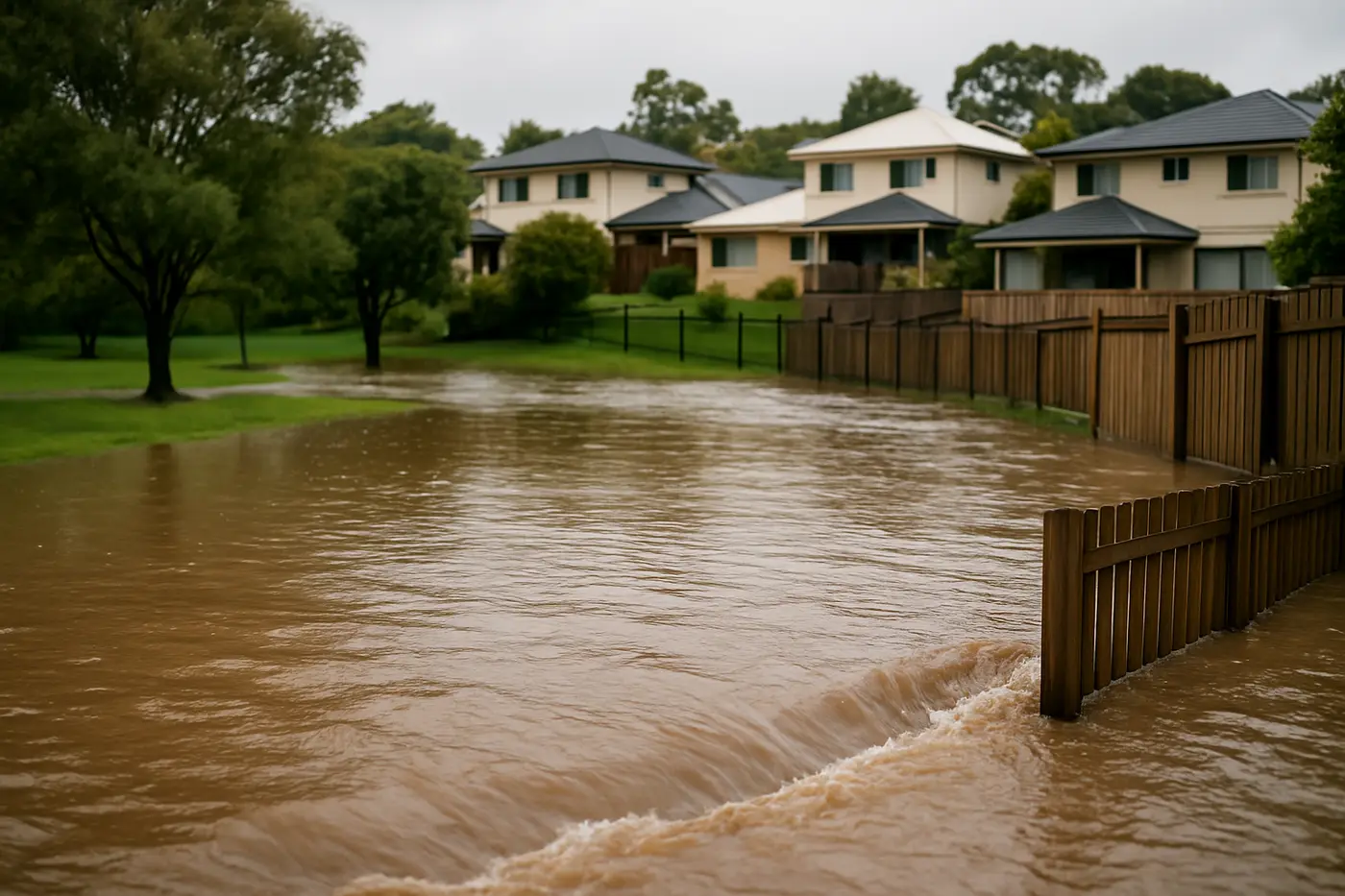
Brisbane’s creeks respond to the storm overhead. Their catchments are steep, short and paved. A supercell dropping 50 mm in twenty minutes on Ashgrove sends most of that water into Enoggera Creek within the hour. The creek can rise metres before the rain has stopped, and drop again within a few hours. There is often no warning beyond the storm itself.
This is flash flooding, and under the standard insurance definition it is still flood, because a creek is a natural watercourse. That distinction is covered in our article on flood versus storm damage claims and it matters a great deal along these corridors.
The creek corridors
Kedron Brook (northside)
Rises in the hills behind Ferny Grove and runs east through Mitchelton, Grange, Lutwyche, Kedron, Wooloowin, Kalinga, Nundah and Toombul to Moreton Bay. Chermside sits on the northern side of the catchment with Downfall Creek and Cabbage Tree Creek draining the Aspley side. Low-lying streets in Lutwyche, Kedron and Wooloowin near the brook see overland flow and creek water regularly; the Nundah and Toombul reaches were badly hit in 2022.
Enoggera Creek and Breakfast Creek (inner north-west)
From Enoggera Reservoir through The Gap, Ashgrove, Red Hill and Herston, becoming Breakfast Creek through Windsor, Bowen Hills and Newstead. Ashgrove and The Gap have low streets along the creek with a long history of flash flooding. Ithaca Creek joins from Bardon and Paddington’s western slopes. The creek backs up when the river is high, so Windsor and Newstead flood from both directions in a river event.
Bulimba Creek (southside)
One of the largest creek catchments, running from Eight Mile Plains and Wishart through Mansfield, Carindale, Belmont, Tingalpa and Murarrie to the river. Carindale’s lower streets, the Mansfield and Wishart flats and the Belmont reaches flood in intense storms, and the 1960s to 80s brick-and-tile housing on slabs in these suburbs is particularly exposed to water spreading under floors.
Norman Creek (inner south)
From Mount Gravatt and Holland Park through Greenslopes, Coorparoo, Stones Corner and East Brisbane. Densely built, heavily piped and quick to surcharge. Stones Corner and Coorparoo low streets have flooded repeatedly; Holland Park’s lower reaches are on the flood maps.
Oxley Creek (south-west)
A long catchment from Forest Lake and Pallara through Oxley, Rocklea, Corinda and Sherwood to the river at Tennyson. Rocklea is Brisbane’s most flood-prone suburb, inundated in 1974, 2011 and 2022 by creek and river together. Oxley and Corinda’s low streets go under in creek events alone.
Moggill Creek (west)
Drains Brookfield, Pullenvale and Kenmore to the river at Kenmore. Kenmore’s creek-side streets and the Brookfield Road corridor flood from the creek; Jindalee and the Centenary suburbs nearby flood from the river.
Ipswich and Logan
Ipswich sits on the Bremer River, which backs up when the Brisbane River is high and flooded Ipswich CBD, Goodna and surrounding suburbs severely in 2011 and 2022. Woogaroo Creek runs through Goodna; Redbank Plains and Springfield Lakes are newer estates where former gullies have been piped and stormwater surcharges in intense rain rather than a creek breaking its banks.
Logan’s Slacks Creek and Scrubby Creek drain Springwood, Logan Central, Underwood and Woodridge; the Logan and Albert Rivers flood Beenleigh, Eagleby and the low areas of Shailer Park and Loganholme.
Creek versus river: what it means for your house
| Creek flash flooding | River flooding | |
|---|---|---|
| Warning | Minutes to an hour | Hours to days |
| Duration of inundation | Hours | Days |
| Typical depth in homes | Under-floor to 500 mm | Often 1 m or more |
| Water | Fast, debris-laden, some sewage | Slow, silt-laden, sewage and chemicals |
| Frequency | Several times a decade on bad corridors | 1974, 2011, 2022 |
| Insurance | Flood (needs flood cover) | Flood (needs flood cover) |
| Restoration timeline | 1–3 weeks after strip-out | 2–4 weeks or more after strip-out |
Both are Category 3 black water under IICRC S500. The difference for restoration is mostly time: a house wet for three hours on a Tuesday evening is in far better shape than one wet for a week.
Checking your own address
Brisbane City Council’s FloodWise Property Report is free and takes a minute. It shows, for each property:
- Modelled creek and river flood levels for a range of likelihoods.
- Overland flow paths across or near the block.
- Historic flood levels for 1974, 2011 and 2022 where recorded.
- The ground level and, where known, the floor level of the house.
If the report shows creek or river flood levels above your floor level at any likelihood, the address is a flood risk and flood cover on your insurance is not optional. If it shows only overland flow, the risk is stormwater, which is storm damage under most policies but still puts water in the house.
Ipswich City Council and Logan City Council publish interactive flood maps with similar information. Real estate listings do not always mention any of it.
What happens when creek water enters a house
The sequence on a typical creek-corridor property looks like this.
During. Water rises fast. There is usually no time to sandbag. Priorities are switching off power at the switchboard if it can be reached safely, moving people upstairs or out, and moving what can be lifted. Do not enter floodwater; it carries sewage, debris and sometimes live electrical hazards.
Within hours. The creek drops and the water drains out, leaving silt, debris and a wet house. Photograph everything before touching it: water lines on walls, silt on floors, contents in place, the yard and the street.
Day one. Make-safe: electrical check before power is restored, removal of the worst debris, extraction of any pooled water. Lodge the insurance claim and ask what mitigation is authorised. Call a flood damage restoration crew; in a major event, the wait can be days, so call early.
Days one to three: strip-out. Creek water is Category 3. Carpet, underlay, the bottom 300 to 600 mm of plasterboard (above the water line), wet insulation, particleboard cabinets and swollen skirting boards are removed and disposed of. This is not optional; porous materials that have held sewage-contaminated water cannot be sanitised.
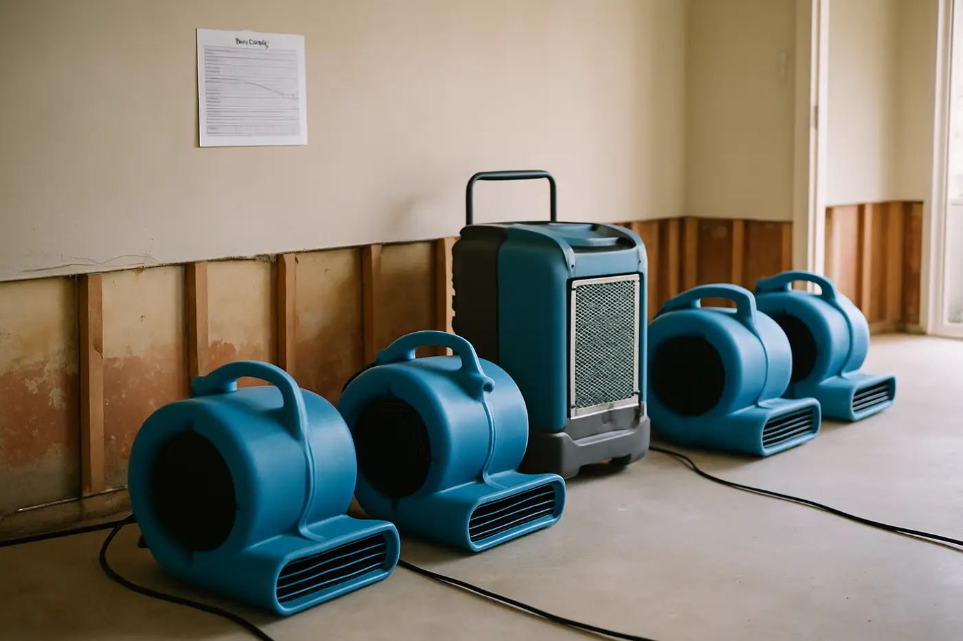
Days three to twenty-one: clean, treat, dry. Hard surfaces and framing are pressure-cleaned, treated with antimicrobial, then dried with air movers and dehumidifiers under daily moisture monitoring until the frame and slab reach their dry standard. Our article on how long drying takes explains the timeline.
Then: rebuild. New plasterboard, skirting, cabinetry and floor coverings, usually by a builder under the insurance scope.
The Queenslander advantage, and its catch
Traditional Queenslanders on high stumps in suburbs like Ashgrove, Red Hill, Paddington and Coorparoo were built that way partly because of the creeks. A creek flood that would inundate a slab home passes under a highset house with the living areas untouched.
The catch is the subfloor. Water through the under-house area soaks bearers, joists, stumps and anything stored there, and the still air under a Queenslander dries slowly. Mould and, over time, decay set in unseen. After any creek event, the subfloor needs to be inspected and dried even if the floor above is fine. Our piece on Queenslander timber floors explains how timber is dried without damage.
Low-set post-war brick homes and 1970s slab houses on the same streets have no such protection and take water straight through the living areas.
Costs after creek flooding
Because creek water is black water, the restoration sits in the higher band. In Brisbane, Ipswich and Logan in 2026:
- Emergency assessment and moisture mapping: $300–$600.
- Full restoration, grey or black water, multiple rooms: $6,000–$15,000 or more.
- Sewage-level sanitisation where the water carried sewer contents: $2,500–$8,000.
- Contents pack-out and restoration: $1,000–$5,000.
Insurance covers this where flood cover is held. Mitigation and make-safe are covered even while the claim is being assessed. The full breakdown is in our 2026 cost guide.
Key takeaways
- Creeks flood more often than the river. Kedron Brook, Enoggera, Bulimba, Norman, Oxley and Moggill each have a corridor of exposed suburbs.
- Creek flash flooding is flood under insurance rules; it needs flood cover.
- Run a free FloodWise Property Report for any Brisbane address; Ipswich and Logan have their own maps.
- Creek water is Category 3. Carpet, underlay and lower plasterboard are stripped, not dried.
- Highset Queenslanders escape the living areas but soak the subfloor.
- Call early in a major event; restorers triage and the queue grows by the hour.
- Photograph water lines and silt before anyone cleans.
If your street is on one of these corridors, the time to check the report and the policy is before the next storm season, not after the creek has been through the lounge room.